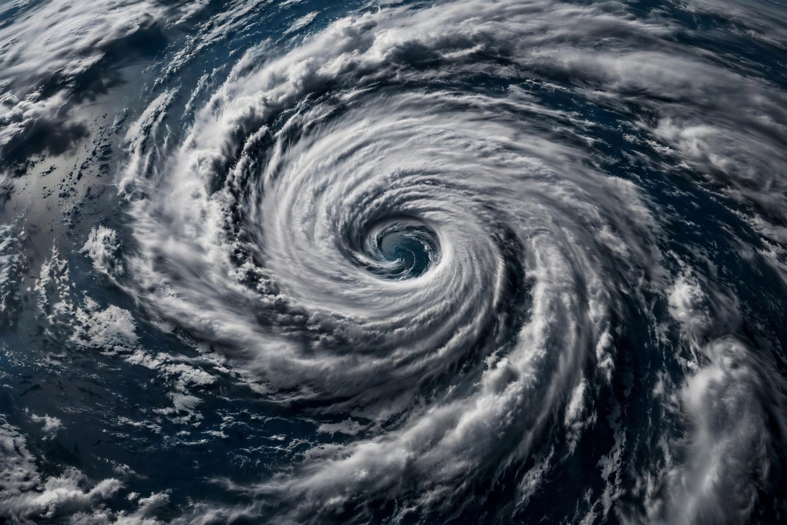
Every hurricane season, Floridians watch the same hypnotic satellite loops: a swirl of clouds organizing itself over warm water, growing from a tropical ripple into a storm that can flatten neighborhoods. Most of us know hurricanes are dangerous. Far fewer understand how they actually form — the precise chain of events that turns sunshine and seawater into a 500-mile-wide engine of destruction. Understanding that chain isn’t just interesting; in Florida, it’s practical knowledge that makes forecasts, warnings, and your own preparations make sense.
Here’s the process, step by step, from a sunny patch of ocean to a major hurricane.
Step 1: Warm Ocean Water — The Fuel
Everything starts with heat. Hurricanes need ocean surface temperatures of at least 80°F (about 26.5°C), extending dozens of meters deep. Warm water evaporates rapidly, loading the air above it with moisture and heat energy. Think of the tropical Atlantic in August as a giant battery being charged by the sun.
This is why hurricane season runs June through November, peaking in September: that’s when Atlantic waters are warmest. And it’s why climate scientists watch ocean temperatures so closely — warmer water means more fuel. The Atlantic’s main development region off West Africa regularly exceeds 82°F in late summer, which is why so many Florida-threatening storms are born there.
Step 2: Moist Air Rises — The Engine Starts
Warm, moist air is less dense than cool air, so it rises. As it climbs, it cools, and the water vapor it carries condenses into clouds — releasing latent heat, the energy stored during evaporation. That released heat warms the surrounding air, making it rise faster, pulling more moist air up behind it. This is a feedback loop: rising air creates clouds, clouds release heat, heat drives more rising air.
You can see a miniature version of this on any Florida summer afternoon, when towering thunderheads build over the Everglades. A hurricane is that same process scaled up enormously and organized around a center.
Step 3: Low Pressure Forms at the Surface
As air rushes upward, it leaves behind an area of lower air pressure at the ocean surface. Nature hates a vacuum, so surrounding higher-pressure air flows inward to fill it. This inward-flowing air is also warm and moist, so it rises too, feeding the loop further. Surface pressure keeps dropping; winds keep converging. Meteorologists track this as a tropical disturbance, then a tropical depression once winds reach 38 mph.
Step 4: Earth’s Rotation Adds the Spin
Here’s where the Coriolis effect enters. As air flows toward the low-pressure center, Earth’s rotation deflects it — to the right in the Northern Hemisphere. Instead of flowing straight in, the air spirals. That spiral is the hurricane’s iconic rotation, counterclockwise in our hemisphere.
The Coriolis effect is weak near the equator, which is why hurricanes almost never form within about 300 miles of it — there’s a real “no-hurricane zone” straddling the equator. Storms need at least 5 degrees of latitude to get enough spin going. This single fact of physics shapes the entire geography of hurricane risk.
Step 5: The Eye Forms — Organization
As the spiral tightens and winds strengthen past 74 mph, the storm earns the name “hurricane.” Something remarkable happens at the center: air begins sinking in the middle of the vortex, creating the calm, clear eye. Around it, the eyewall — a ring of the most violent thunderstorms on Earth — becomes the storm’s engine room, where the fastest winds and heaviest rain concentrate.
An organized eye on satellite imagery is what forecasters look for as the sign of a strengthening storm. When the eye sharpens and contracts, intensification is usually underway — the pattern behind every rapid-intensification event that has caught Florida off guard.
Step 6: Feedback Takes Over — Growth and Movement
By now the hurricane is self-sustaining: the eyewall’s rising air maintains the central low pressure, the low pressure pulls in more fuel, the Coriolis effect maintains the spin. The storm now moves with the steering currents around it — typically westward on trade winds, then curving north and east around high-pressure systems. That curve is the famous track that brings storms up Florida’s coast or into the Gulf.
Storms strengthen over warm water and weaken over land (no more fuel) or cool water. Wind shear — changing wind speed with altitude — can tear a storm apart by tilting its structure. Forecasters at the National Hurricane Center model all these factors, which is why the “cone of uncertainty” exists: small changes in steering currents mean large differences in landfall location days out.
Why Some Storms Fizzle and Others Explode
Not every tropical wave becomes a hurricane. Saharan dust — dry air blowing off Africa — can choke developing storms by introducing dry air into the feedback loop. El Niño years bring stronger upper-level winds that shear Atlantic storms apart. And some disturbances simply never find the alignment of warm water, moist air, low shear, and distance from the equator that the recipe demands. Understanding the ingredients explains both the monsters and the misses.
NASA’s hurricane research missions fly directly into storms to measure exactly these variables, continuously refining the models that protect Florida communities.
What This Means for Your Florida Preparations
Understanding formation makes you a smarter preparer. When forecasters mention warm Gulf waters and low shear, you know intensification is likely — prepare earlier. When you understand that the eyewall holds the worst winds, you understand why forecasts emphasize where the eye goes, not just the storm’s category. And knowing that storms feed on warm water explains why September storms deserve maximum respect.
Practical takeaway: the same physics that builds hurricanes rewards preparation. Weather-proofing your home before harsh weather hits uses the same principles — sealing, securing, and hardening your house against wind and water. And since Florida’s heat is the fuel, dressing for it matters too: choosing the best fabrics for hot summer weather keeps you functional during the long, hot preparedness season.
Conclusion
Hurricanes form through an elegant, terrifying chain: warm ocean water evaporates, moist air rises and releases heat, surface pressure drops, Earth’s rotation spins the inflow, an eye organizes at the center, and feedback takes over until the storm is a self-sustaining engine hundreds of miles wide. Every link in that chain is physics you can understand — and understanding it turns hurricane season from something that happens to you into something you can read, anticipate, and prepare for. In Florida, that understanding isn’t trivia. It’s survival literacy.
Frequently Asked Questions
What is the number one ingredient for hurricane formation?
Warm ocean water — at least 80°F extending deep below the surface. Without that heat energy to evaporate, the entire feedback loop can’t start. This is why hurricanes are tropical phenomena.
Why don’t hurricanes form at the equator?
The Coriolis effect, which provides the spin, is essentially zero at the equator. Hurricanes need at least 5 degrees of latitude for Earth’s rotation to deflect inflowing air into the characteristic spiral.
What is the eye of a hurricane?
The calm, clear center where air sinks instead of rising. It’s surrounded by the eyewall — a ring of violent thunderstorms containing the storm’s strongest winds. A shrinking, well-defined eye usually signals a strengthening storm.
Why do hurricanes weaken over land?
They lose their fuel source: warm ocean water. Without evaporation feeding moist air into the system, the feedback loop collapses. Friction with land also disrupts the wind structure.
When is Florida’s hurricane season?
Officially June 1 through November 30, with peak activity from mid-August through October. September is historically the most active month, when Atlantic waters are warmest.